Hike: Grove Creek to Battle Creek Loop

I had already been to Battle Creek Falls and heard that my friend Anna did this loop with her father. So rather than just hiking to Grove Creek and back down my brother and I decided to do the loop. This was my first big hike since I did Timp with some strangers back in the 90's. That hike was hell on my hip so I thought I couldn't hike. They didn't let me go at my own pace which I can tell you now is very important.
Both of these trail heads are located in Pleasant Grove only a few blocks from each other. To keep this short I'll let you look it up if you're interested in either one.
Below are the pictures I took (in order). There are quite a few since it was my first long hike and there were so many changes in scenery because of when we went.


The trail starts out straight but then you switchback a few times to the north and then your hiking on a cliff for a bit until you come to the waterfall. I only got a picture of that from the distance. There's also a bench at the top of the falls and a small sketchy bridge between the waterfall and the trickling water (below) that isn't shown. Most people just hike to that and turn around and go back down.


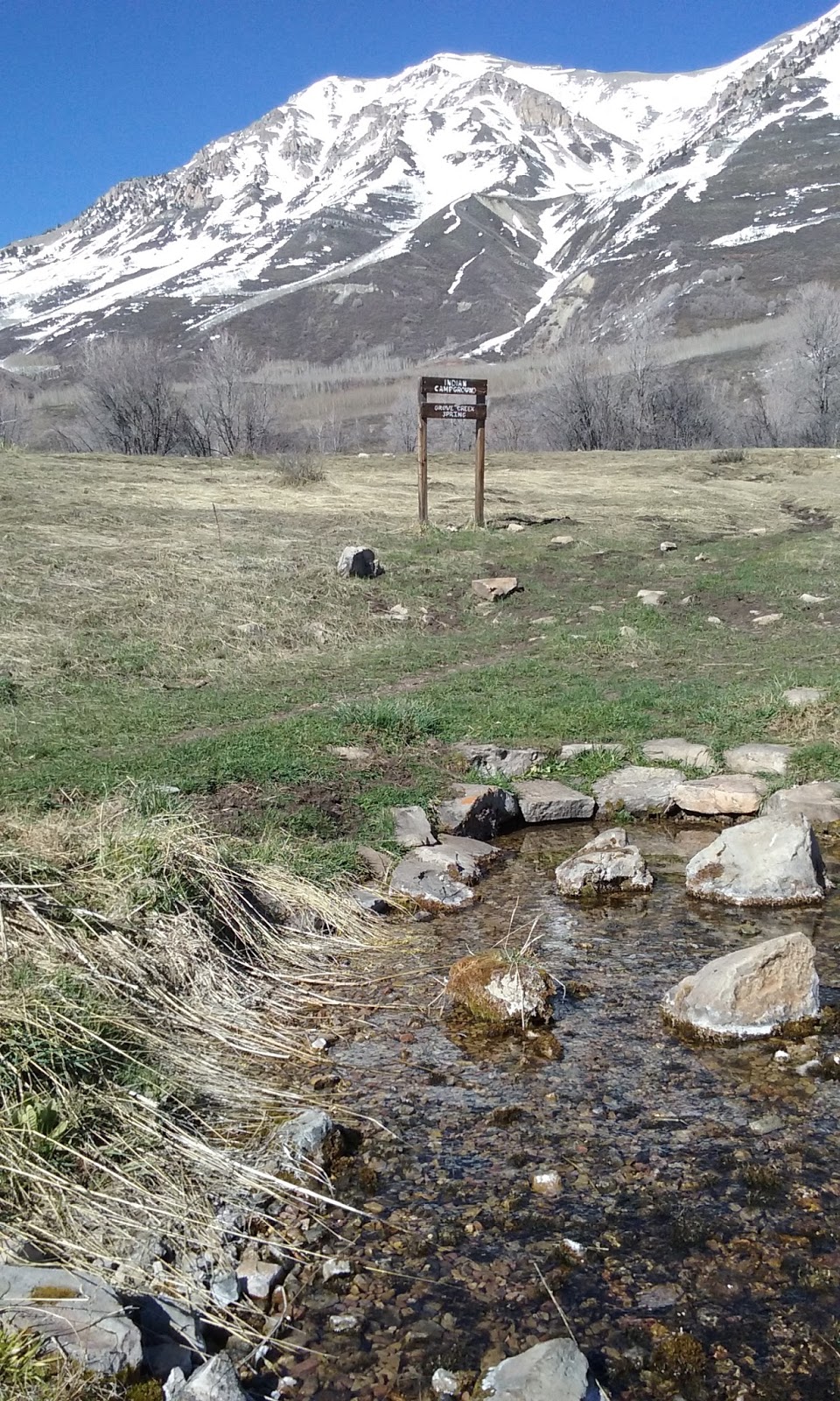
Getting to the springs was tricky since we found a different spot that we thought was the springs way before. Turns out you're looking for an actual spring with a sign and camp area (pictured above).


This first pic is the view of Grove Creek Canyon from the top. Then we hiked up a hill of snow It was very slippery so this was very difficult. I did my best to stay in other footprints that were packed down.

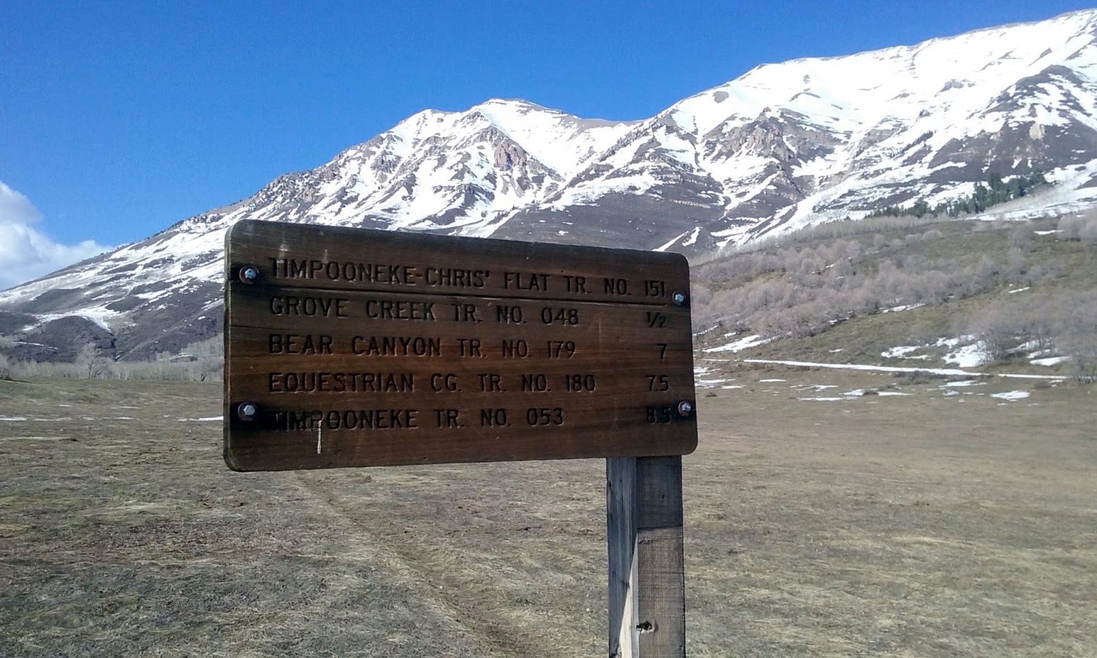


When we finally got to the top it was a huge meadow. The wind and snow had flattened all of the grass. My brother is pictured in the first pic and last pic. That is about how far ahead of me he usually is but he waits up for me here and there. We found a few signs that weren't very helpful (as usual). Notice that there aren't any arrows (just distances) and there are trails every which way. None of them clearly marked the canyon we were looking for.


Oh look! Another sign. I'm not sure why it lists Kiwanis Park. That's the park at the trail head and now I know the name of it. I didn't take any pictures of Battle Creek Falls on the way down since I had done that already. We were done. The hike over all was about 7.8 miles and took us 6 hours. We made it home just as the sun was going down.


Comments
Post a Comment